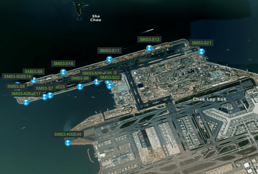
Reclamation Monitoring
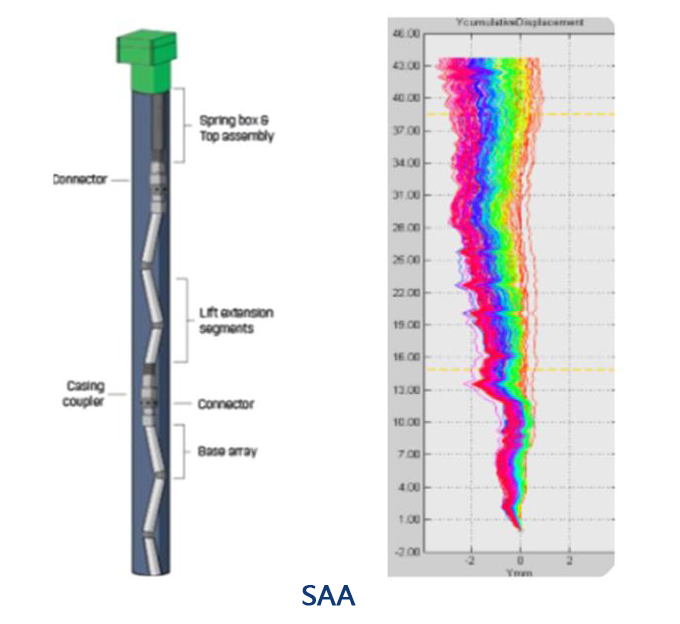
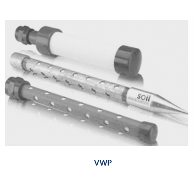
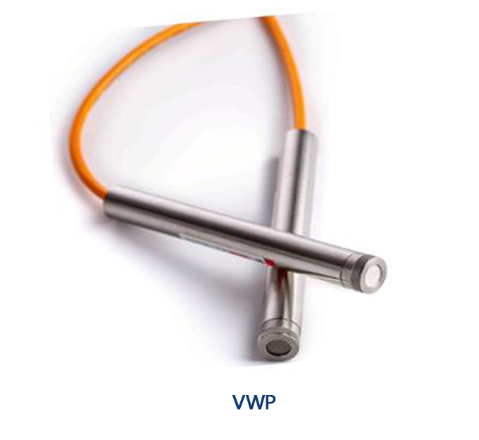
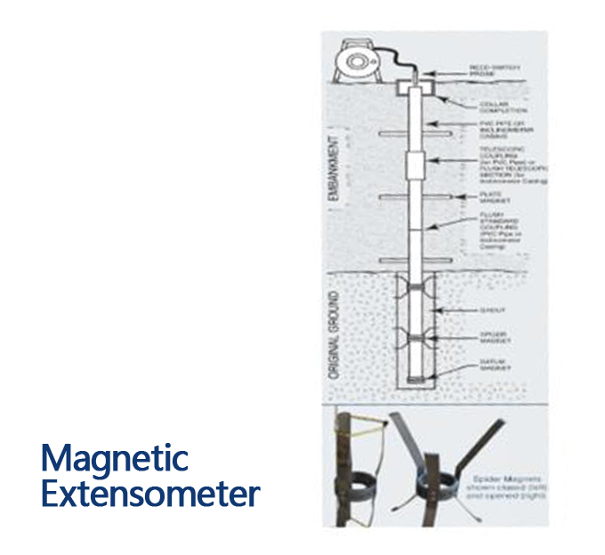
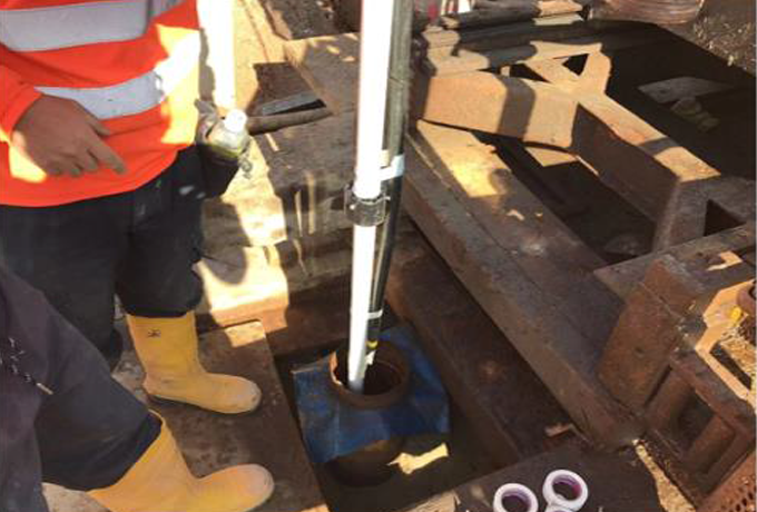
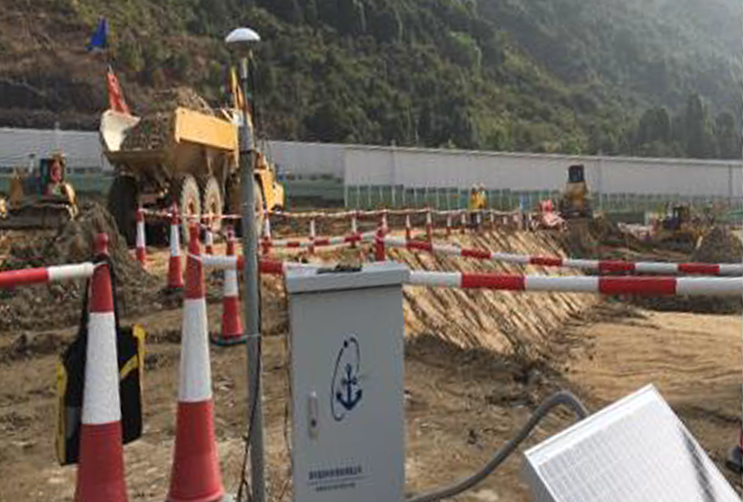
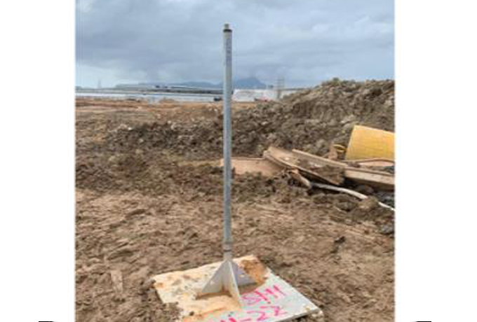
Geotechnical data regarding compaction level, settlement, and displacement of the fills are crucial components ofreclamation projects. GNSS, InSAR, MPX, VWP, SAA, and other types of instruments can be utilized to record and analyze the current settlement and forecast the extent of ground consolidation. Compared with the design models to verify the appropriateness of the design assumptions, and even guide and adjust construction parameters based on the data.
